

Developing the Foundations for Climate Action and Sustainable Forest Management in Timor-Leste
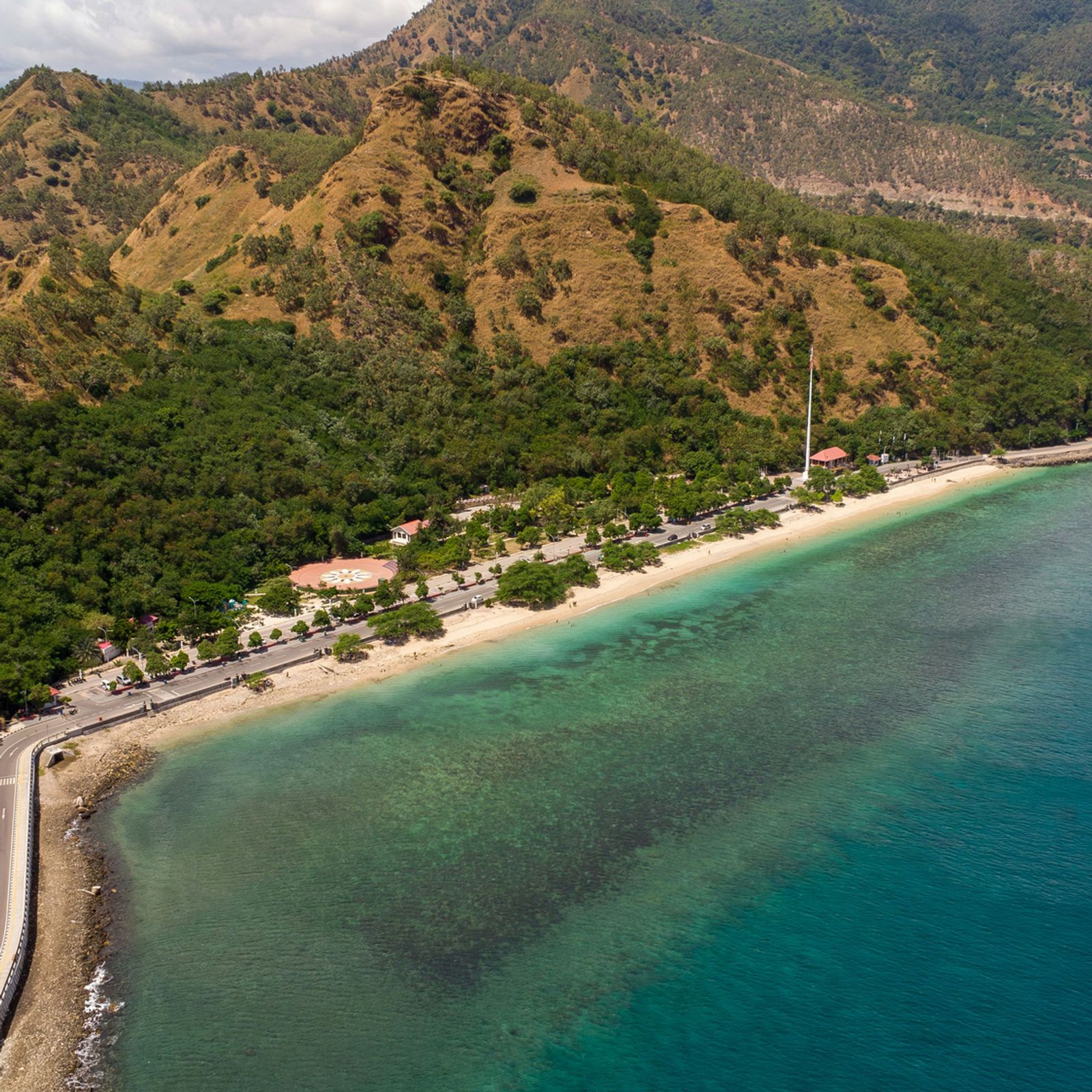
Establishing Timor-Leste’s first national forest baseline and Forest Reference Level for climate reporting and finance.
The challenge
As one of Southeast Asia's newest nations, Timor-Leste experienced widespread deforestation between 2003 and 2010 (estimated at 1.7-2.23% annually), driven by slash-and-burn agriculture, land clearing, and repeated burning for cultivation and grazing. Yet major information gaps stood in the way: no consistent national-scale data on forest cover or carbon stocks, no completed National Forest Inventory (NFI), inconsistent and outdated forest maps, and limited in-country technical capacity for forest monitoring, GIS, and REDD+ reporting. Without robust baseline data and technical systems, Timor-Leste could not access international climate finance, report credibly on forest-related emissions, or track progress toward its climate commitments under the UNFCCC.
What we did
- FAO, with funding from the Green Climate Fund (GCF), engaged Elvino Aparicio de Oliveira as National Forest Specialist and Project Coordinator to deliver Timor-Leste's first Forest Reference (Emissions) Level (FRL/FREL), a critical benchmark for measuring the country's performance in reducing emissions from deforestation and forest degradation under the REDD+ framework.
- Co-designed and implemented Timor-Leste's first-ever National Forest Inventory (NFI): developed the methodology, including plot design, field protocols, and carbon calculation methods; trained government technical staff from the Directorate General of Forestry, Coffee and Industrial Plants (DGFCIP) to conduct field-based inventory; and led field data collection across the country, establishing the foundational dataset for national forest monitoring.
- Led remote sensing and land cover mapping: supported the Remote Sensing team to validate 4,215 sample plots nationwide using systematic sampling and visual interpretation of satellite imagery; applied tools including Sentinel-2, Planet mosaics, and Google Earth Engine to map forest cover and land use change; and produced Timor-Leste's updated 2021 Land Cover Map, the country's most recent and reproducible forest map.
- Calculated the Forest Reference Level: co-authored the FRL/FREL submission document using IPCC guidelines and Timor-Leste's first national forest data, and integrated activity data (land use change) with emission factors (carbon stock estimates) to calculate national-level emissions and removals from forests. The FRL/FREL was formally submitted to the UNFCCC in January 2023 and published on the UNFCCC REDD+ platform.
- Coordinated across institutions and transferred knowledge: served as Project Coordinator, liaising between multiple government ministries, the UNFCCC Technical Secretariat, and international partners; travelled to Rome with Government representatives to present the FRL/FREL to FAO and UNFCCC officials; and presented findings to Government officials in Timor-Leste, ensuring national ownership and understanding of the technical approach.
- Drew on deep expertise across forest inventory design, GIS and remote sensing (Landsat, Sentinel-2, Planet, Google Earth Engine), REDD+ MRV (Measurement, Reporting, Verification) systems, IPCC greenhouse gas accounting, stakeholder coordination and capacity building, and technical writing to international reporting standards.
Outcomes
Nearby in the atlas
Related case studies
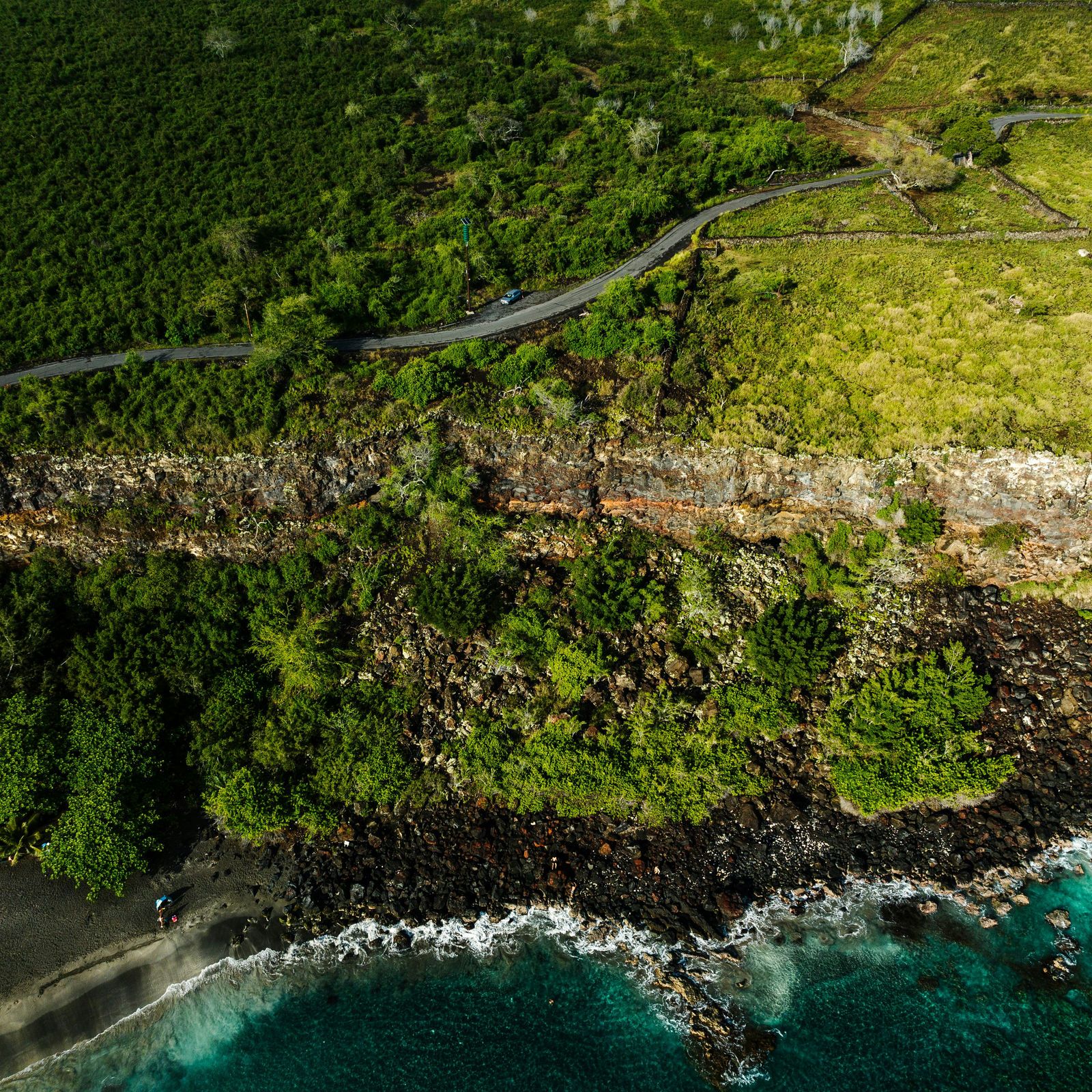
Multi-hazard risk assessment for the transport sector in Niue
Government of Niue · Asian Development Bank
Unlocking Sustainable Development: Container Deposit Schemes in the Pacific Islands
Japan International Cooperation Agency
Streamlining Invasive Species Management in the Pacific Islands
PRISMSS · SPREP